Buying Acreage Near New Meadows: A Practical Guide
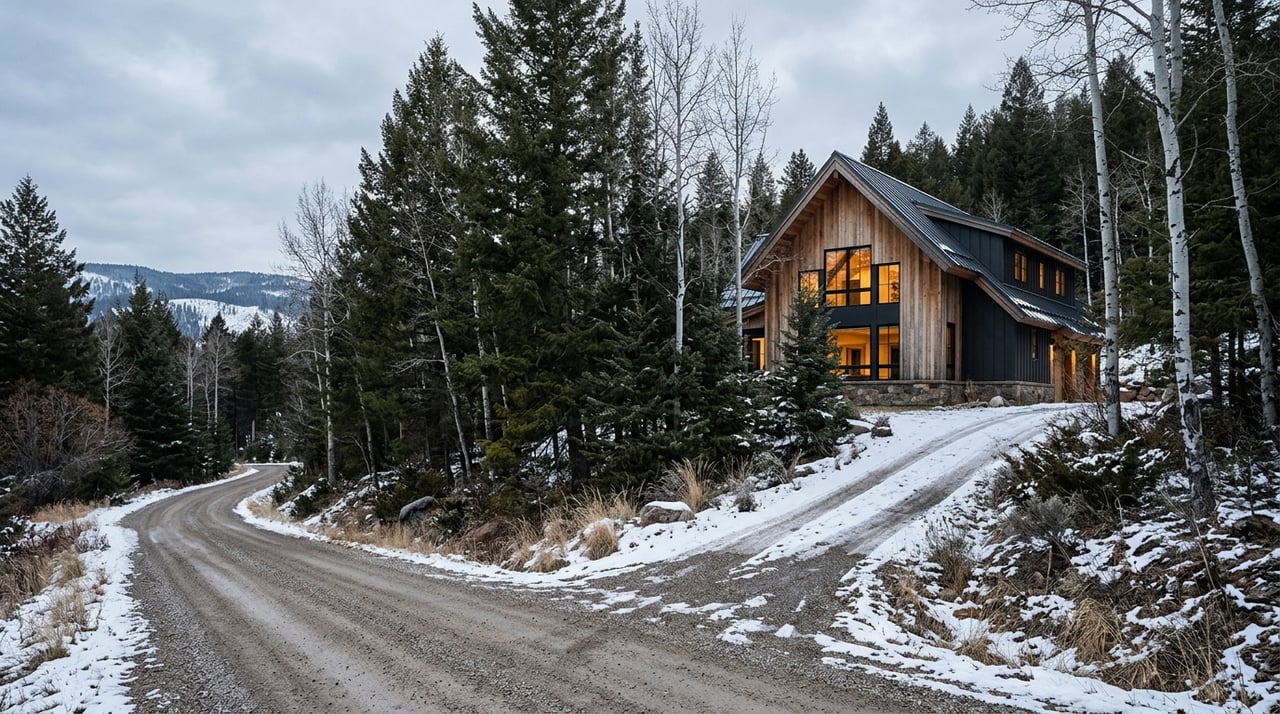
Thinking about buying a few acres near New Meadows, where meadow views meet timbered hills and winter snow reshapes daily life? Acreage can be a smart move, but the details behind access, wells, septic, soils, and zoning will make or break your plans. In this guide, you’ll learn what to check, who to call, and the exact documents to request so you can buy with confidence. Let’s dive in.
New Meadows sits at the junction of SH‑55 and US‑95 in the upper Meadows Valley, surrounded by a mix of private land and nearby public lands. Elevation, valley topography, and winter conditions affect road maintenance, site work, and fire considerations. Before anything else, confirm whether the parcel is inside city limits, in the city’s impact area, or in unincorporated Adams County. That status determines which rules apply and which office issues permits.
For county-administered properties, start at Adams County Planning & Zoning. You will find contacts and guidance for items like parcel splits, conditional uses, and rezones. For road plowing and maintenance questions, rely on Adams County Road & Bridge, which operates local shops including one in New Meadows.
Access is the first gatekeeper to value and usability. You want clear, recorded legal access to the parcel and a practical plan for winter and spring conditions. Clarify who maintains the road and how costs are shared.
Ask if the access is a county road, a state highway, or a private lane across another property. Public roads offer predictable maintenance and standard right‑of‑way permits for any work. Private roads shift responsibility to owners and often require ongoing cost sharing for plowing and grading.
Call Adams County Road & Bridge and ask if the road segment serving the property is on the county‑maintained system. Confirm the surface type and maintenance standard. If the road is private, require a recorded road‑users or maintenance agreement before closing. If one does not exist, talk with your title company and an attorney about options to record one.
Most acreage outside city limits relies on a private well and an onsite septic system. These are essential to your plans and your budget, so verify them early.
Ask the seller for the well completion log or driller report, recent water‑quality tests, and any repair records. The Idaho Department of Water Resources (IDWR) manages well construction rules and water‑rights records. Use IDWR tools to research a parcel and connect with the regional well inspector on construction standards and history. Start with IDWR’s wells and inspector contacts. To see what a water‑right record looks like, review an example IDWR right report.
Schedule independent water testing for bacteria and nitrate at a minimum. Depending on local geology, consider expanded testing. If results are marginal, budget for treatment, upgrades, or even well work. Your licensed well professional can advise on scope and costs.
A septic system depends on soil type, slope, and groundwater depth, plus room for both a primary system and a reserve area. Ask for the septic permit history, an as‑built plan, and any inspection or pump reports. In Idaho, onsite wastewater rules follow statewide technical guidance. Many permits require a soils or perc evaluation and a septic designer’s report.
Slope, shallow rock, and drainage patterns shape where you can build, how much site work you will need, and whether a septic drainfield will work at all. A few free tools can help you screen parcels fast.
If the parcel is near a creek or sits in low ground, check official flood maps with FEMA’s Flood Map Service Center. Note any special permitting or elevation requirements that might apply to building sites.
Maps are a starting point. For any planned build site, schedule a visit with a licensed surveyor or civil/soil professional. A boundary and topographic survey, plus a soils evaluation, will confirm where you can place a driveway, building pad, well, and septic. This step protects your budget and your timeline.
Zoning and comprehensive plans control how you can use the land today and what changes may be possible later. Minimum lot sizes, allowed uses, and overlay zones can all affect value and financing.
First, confirm if the property is inside New Meadows city limits, in the city’s impact area, or in unincorporated Adams County. The city’s long‑range goals are outlined in the New Meadows Comprehensive Plan. County standards and procedures, including forms for rezones, conditional uses, and boundary adjustments, are available through Adams County Planning & Zoning.
If you plan to split a parcel, add an accessory dwelling, run a small farm or a commercial activity, or consider short‑term rentals, check current zoning and any overlay zones. Ask about floodplain rules, scenic corridors, or wildlife considerations if they apply. These details shape what permits you will need and whether your timeline is realistic.
Contact Adams County Planning & Zoning to confirm the current zoning designation and to discuss any recent or pending updates. If you anticipate a non‑residential use or higher density later, ask for the county’s rezone and conditional‑use procedures and typical timelines.
Use this list to organize your offer and contingency period.
Buying acreage in West Central Idaho rewards careful planning. You want a partner who understands local roads, snow patterns, soils, water, and the county process, and who can connect you with the right surveyors, well drillers, and septic designers. Our team handles mountain and rural transactions daily, from modest lots to large development parcels, and we are comfortable guiding complex due diligence.
With decades of regional experience and a boutique, high‑touch approach, we help you confirm feasibility, coordinate professionals, and negotiate with clear, data‑backed terms. Whether you are building your forever home or assembling land for investment, we will tailor the process to your goals and timeline.
Ready to explore acreage near New Meadows with confidence? Start a conversation with the Sadie Noah Real Estate Group and request a personalized plan for your property search.
Sadie Noah Real Estate Group is a dynamic team of professionals dedicated to delivering exceptional service and results. With their expertise and passion, they guide clients through the real estate journey with care, ensuring their dreams become reality.